Carbon Mapper Releases First Tanager-2 Methane Detection Days After Satellite Launch
Published on: Oct 20, 2026
Carbon Mapper released the first methane detections from the Tanager-2 satellite, just days after it was launched on Oct. 1 from Vandenberg Space Force Base.
One of Tanager-2’s first looks at Earth revealed a large methane plume over the coast of Spain on Oct. 7.
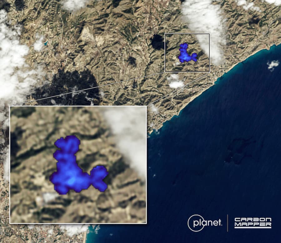
Tanager’s first look at Earth: Observations from Planet Labs’ hyperspectral satellite Tanager-2 show a large methane plume, detected by Carbon Mapper over the coast of Spain on Oct. 7.
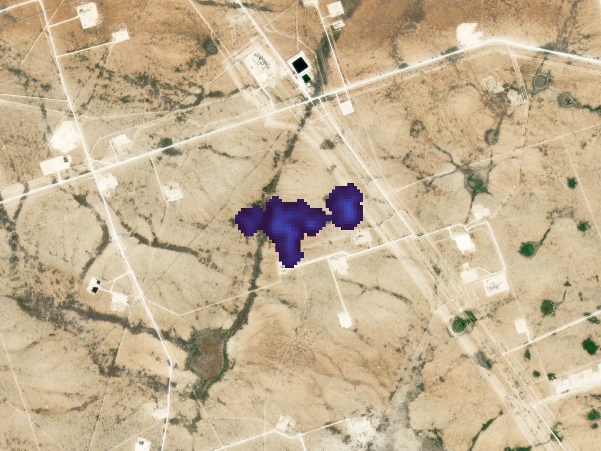
Carbon Mapper also used early Tanager-2 observations to detect large methane plumes over Turkmenistan and the Permian Basin, as well as the satellite’s first carbon dioxide plume over Indonesia.
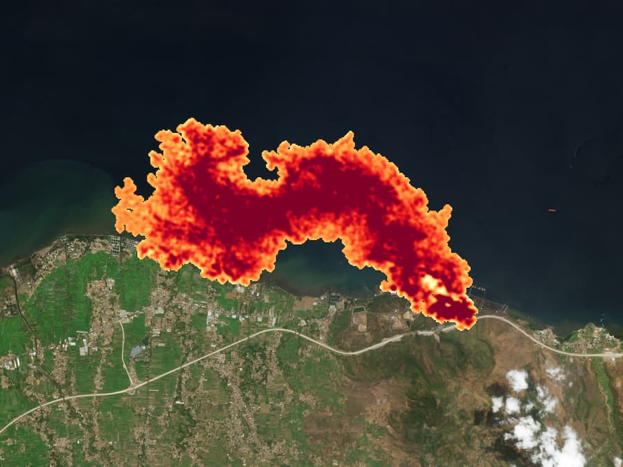
Tanager-2 takes its first few looks at Earth just days after launching into space. Carbon Mapper used observations from Planet's hyperspectral satellite to detect a large carbon dioxide plume over Indonesia on Oct. 8.
These first detections are an exciting milestone as we are quickly moving into an operational constellation. This milestone paves the way for Carbon Mapper to soon scale up its global methane and CO2 data and insights to drive mitigation action.
The incredibly short window between launch and Tanager-2’s first methane detection instills great confidence that we can continue to effectively grow our emissions-detecting from this satellite constellation with Planet. Our unique partnership is allowing us to sustainably develop and deploy state-of-the-art technology that is already proven to enhance methane transparency from space to inform action on the ground.
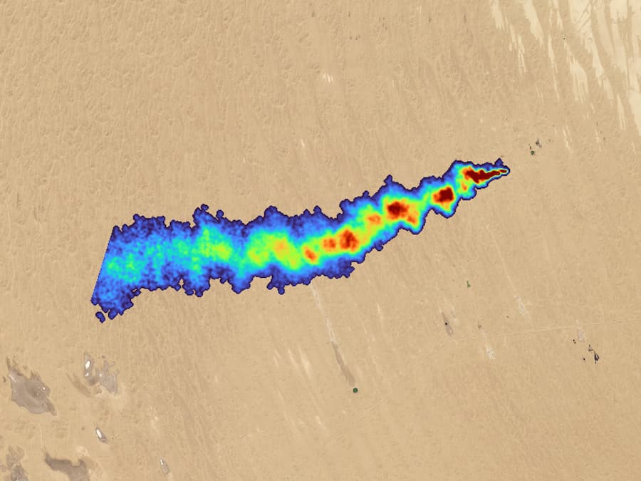
Tanager-2 takes its first few looks at Earth just days after launching into space. Carbon Mapper used observations from Planet's hyperspectral satellite to detect a large, persistent methane plume from oil and gas over Turkmenistan on Oct. 9.
Tanager satellites are designed and optimized to detect methane super-emitters with high granularity, so they can be traced to a specific location and acted on quickly.
Since the launch of the first satellite in 2024, Carbon Mapper has leveraged Tanager-1 data to populate its public data portal with over 15,200 methane plumes from 5,400 unique emissions sources across oil and gas, waste, coal and agriculture operations. This data reaches nearly 100,000 direct users around the world, empowering decision makers to act on super-emitting events.
The data has enabled decision makers to more effectively address methane through direct mitigation, new policies and programs, and powerful international partnerships — measures that have a direct impact on climate, air quality, and public health. The newly launched Tanager-2 satellite will increase both the frequency of revisits and the amount of available methane emissions data.
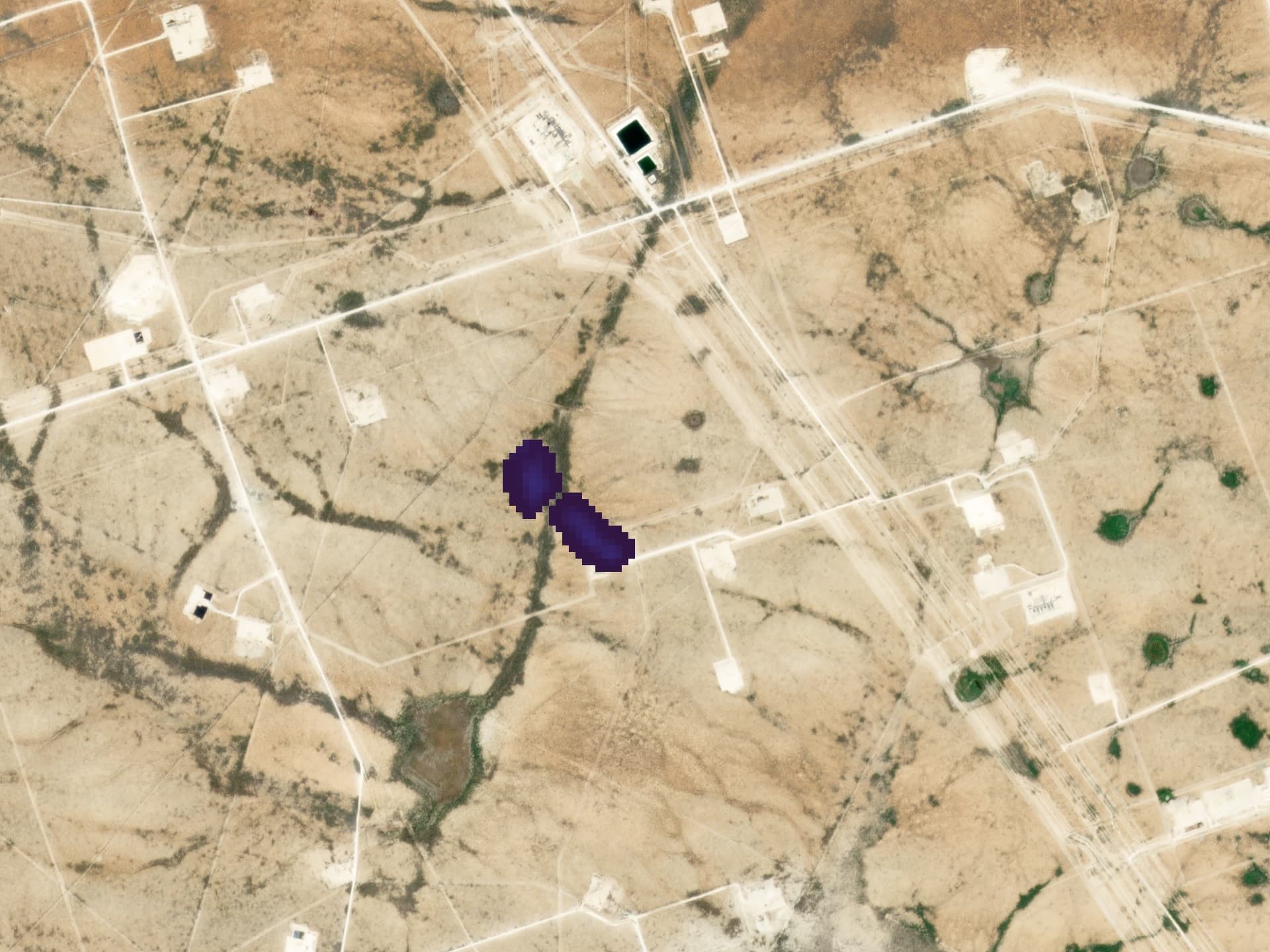
Carbon Mapper used Tanager-1 observations to detect a large methane plume in the Permian Basin on Oct. 10. Just two days later, Tanager-2 imaged the same source, and Carbon Mapper again detected methane emissions. This example showcases how a fuller satellite constellation can more quickly revisit a source and pinpoint persistent emissions.
Tanager-2 is the second of a series of satellites developed by Planet Labs PBC through a unique partnership led by the nonprofit Carbon Mapper and backed by philanthropy. Planet has committed to building and deploying two additional Tanager satellites and integrating next-generation imaging spectroscopy technology into one additional satellite. Carbon Mapper plans to initially deploy this new technology on aircraft beginning in 2027 to detect a wider range of atmospheric gases.
Tanager-2 is currently undergoing commissioning by Planet, which includes performing calibration and validation of key systems in coordination with Carbon Mapper, in addition to other routine spacecraft operations. Once commissioning is completed in the coming months, Carbon Mapper will make methane and CO2 data routinely accessible on its public portal.