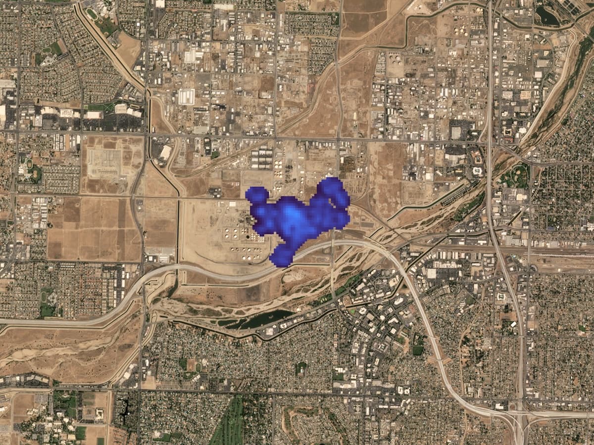
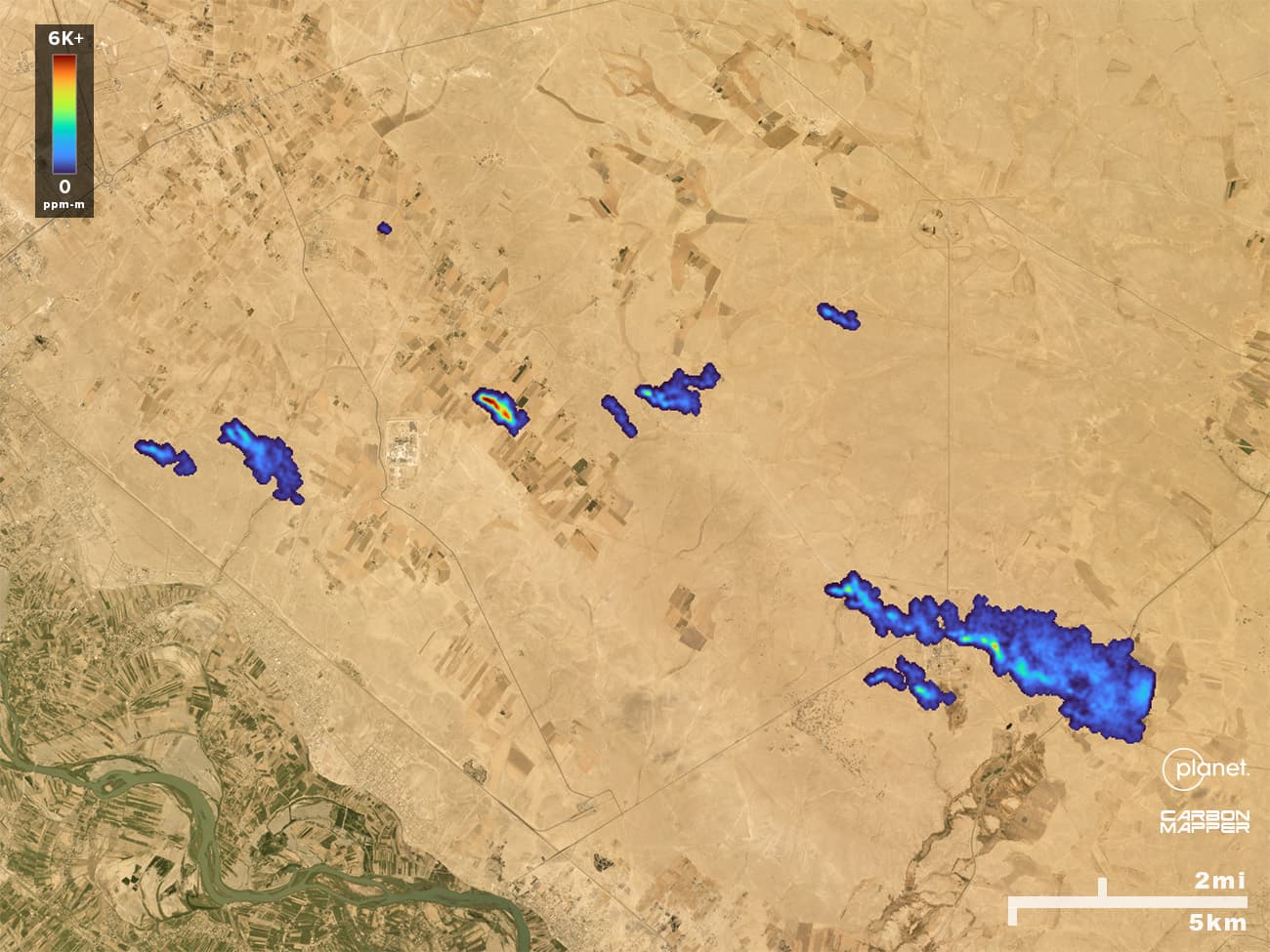
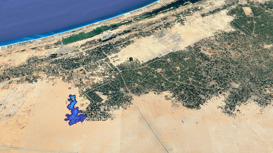
Duration of super-emitting oil and gas methane sources research & analysis
Duration of super-emitting oil and gas methane sources Published on: Jan 24, 2026
research & analysis
Research: The Design, Strategy, and Performance of the Carbon Mapper Emissions Monitoring System Published on: Dec 15, 2025
news
Carbon Mapper Shares How Tanager-1 Data is Driving Methane Emissions Transparency and Mitigation Action at 2025 AGU Meeting Published on: Dec 08, 2025
news
What COP30 Signaled about Global Methane Leadership Published on: Nov 25, 2025
The Carbon Mapper emissions monitoring system research & analysis
The Carbon Mapper emissions monitoring system Published on: Nov 24, 2025
news
From Space Detection To Rapid Response: New End-To-End Global Methane Emissions Reduction Effort Launched by Bloomberg Philanthropies and Partners Published on: Nov 06, 2025
news
Carbon Mapper at COP30 Published on: Nov 03, 2025
news
Carbon Mapper CEO Riley Duren Named to 2025 TIME100 Climate List Published on: Oct 30, 2025
data dispatch
Detecting Methane from Offshore Oil and Gas Activity Published on: Oct 08, 2025
impact stories
Tanager-1: One Year in Space Published on: Sep 23, 2025
news
Carbon Mapper CEO Riley Duren Named to Grist 50 Published on: Sep 16, 2025
news
Carbon Mapper at Climate Week NYC 2025 Published on: Sep 15, 2025
news
Mapping the Health Risks of Methane Super-emitters Published on: Aug 26, 2025
data dispatch
Seeing Around the Clouds Published on: Jul 30, 2025
research & analysis
Methane Waste Super-emitters: An Opportunity for Global Action in the Waste Sector Published on: Jun 25, 2025
news
Carbon Mapper Named to Fast Company’s 2025 World Changing Ideas List Published on: Jun 11, 2025
Colorado's landfills generate as much pollution as driving 1M cars for a year news
Colorado's landfills generate as much pollution as driving 1M cars for a year Published on: May 31, 2025
data dispatch
Observing Methane at High Latitudes Published on: May 28, 2025
news
Energy Reimagined: Transformative Trends in Methane Mitigation Published on: May 27, 2025
Can satellites keep companies honest on emissions? news
Can satellites keep companies honest on emissions? Published on: May 23, 2025
Efforts to slow release of potent greenhouse gas could withstand climate cutbacks under Trump news
Efforts to slow release of potent greenhouse gas could withstand climate cutbacks under Trump Published on: Apr 06, 2025
Eye in the sky: CA spending $100M to track methane emissions with satellites news
Eye in the sky: CA spending $100M to track methane emissions with satellites Published on: Mar 28, 2025
news
Carbon Mapper Selected for California Satellite Data Purchase Program Published on: Mar 21, 2025
research & analysis
The Near-Term Mitigation Opportunity of Super-Emitters - A Case Study in the Permian Basin Published on: Mar 10, 2025
news
Carbon Mapper at CERAWeek Published on: Mar 03, 2025
technical resources
Product Guide: Data Definition & Specification Published on: Feb 14, 2025
news
New methane data from Tanager-1 satellite added to Carbon Mapper's portal Published on: Feb 05, 2025
news
Landfill work face emissions present major methane mitigation opportunity, study finds Published on: Dec 10, 2024
news
Carbon Mapper Experts to Present Initial Methane and Carbon Dioxide Results from the Tanager-1 Satellite at 2024 AGU Meeting Published on: Dec 06, 2024
Carbon Mapper Achieves First Tanager-1 Methane Mitigation Success news
Carbon Mapper Achieves First Tanager-1 Methane Mitigation Success Published on: Nov 16, 2024
news
Carbon Mapper data from the Tanager-1 satellite reveals methane and carbon dioxide super-emitter activity around the world Published on: Nov 15, 2024
How oil and gas companies disguise their methane emissions - Financial Times news
How oil and gas companies disguise their methane emissions - Financial Times Published on: Nov 11, 2024
Carbon Mapper Data Portal in Action: Understanding Methane Emissions from Landfills videos
Carbon Mapper Data Portal in Action: Understanding Methane Emissions from Landfills Published on: Nov 07, 2024
Algorithm Theoretical Basis Document L3/L4: Methane and Carbon Dioxide Emission Quantification for Satellites technical resources
Algorithm Theoretical Basis Document L3/L4: Methane and Carbon Dioxide Emission Quantification for Satellites Published on: Oct 24, 2024
Algorithm Theoretical Basis Document L2B: Methane and Carbon Dioxide Concentration Retrievals for Satellites technical resources
Algorithm Theoretical Basis Document L2B: Methane and Carbon Dioxide Concentration Retrievals for Satellites Published on: Oct 24, 2024
Carbon Mapper Releases First Emissions Detections from the Tanager-1 Satellite news
Carbon Mapper Releases First Emissions Detections from the Tanager-1 Satellite Published on: Oct 10, 2024
Data Portal 101: Unlocking Transparent Emissions Data with Carbon Mapper videos
Data Portal 101: Unlocking Transparent Emissions Data with Carbon Mapper Published on: Oct 08, 2024
news
First Light Images Released From the Carbon Mapper Coalition Tanager-1 Satellite Published on: Sep 24, 2024
news
Carbon Mapper at Climate Week NYC 2024 Published on: Sep 13, 2024
Group backed by Bloomberg, NASA launches its first methane-hunting satellite news
Group backed by Bloomberg, NASA launches its first methane-hunting satellite Published on: Aug 16, 2024
Carbon Mapper Coalition launches Tanager-1 satellite to drive transparency of methane and CO2 super-emitters and prompt global action news
Carbon Mapper Coalition launches Tanager-1 satellite to drive transparency of methane and CO2 super-emitters and prompt global action Published on: Aug 16, 2024
news
Carbon Mapper Coalition’s First Methane-Sensing Satellite to Launch August 16th Published on: Aug 15, 2024
news
Launch 101: What to Watch Published on: Aug 15, 2024
New Fixes for Methane Emissions Could Be a Big Climate Help - Wall Street Journal news
New Fixes for Methane Emissions Could Be a Big Climate Help - Wall Street Journal Published on: Jul 25, 2024
news
Two New Methane Satellite Programs Join the Climate Fight Published on: Jun 25, 2024
technical resources
Tanager Methane Performance Specifications Published on: Jun 24, 2024
Carbon Mapper Quality Control Description Document technical resources
Carbon Mapper Quality Control Description Document Published on: Jun 24, 2024
news
The Carbon Mapper Coalition prepares to launch first satellite Published on: Jun 20, 2024
explainers
How Carbon Mapper “Sees” Methane and CO2 Published on: May 29, 2024
news
Catalytic Philanthropic Investment Helps Make Methane and CO2 Data Public Published on: Apr 18, 2024
news
Study finds landfill point source emissions have an outsized impact and opportunity to tackle U.S. waste methane Published on: Mar 28, 2024
Quantifying methane emissions from United States landfills research & analysis
Quantifying methane emissions from United States landfills Published on: Mar 28, 2024
‘Garbage Lasagna’: Dumps Are a Big Driver of Warming, Study Says news
‘Garbage Lasagna’: Dumps Are a Big Driver of Warming, Study Says Published on: Mar 28, 2024
A potent planet-warming gas is seeping out of US landfills at rates higher than previously thought, scientists say news
A potent planet-warming gas is seeping out of US landfills at rates higher than previously thought, scientists say Published on: Mar 28, 2024
news
Analysis of 1M aerial measurements reveals insights from oil and gas production in key regions Published on: Mar 13, 2024
data dispatch
Repeat Observations of Global Waste Methane Sources Published on: Feb 12, 2024
Senate hearing tackles methane measurement tools, reduction strategies news
Senate hearing tackles methane measurement tools, reduction strategies Published on: Feb 02, 2024
International Campaign required to map and monitor atmospheric methane news
International Campaign required to map and monitor atmospheric methane Published on: Jan 25, 2024
Tracking methane now easier with remote sensing technology news
Tracking methane now easier with remote sensing technology Published on: Jan 09, 2024
In EPA’s new methane rule, an innovative way to stop ‘super emitters’ news
In EPA’s new methane rule, an innovative way to stop ‘super emitters’ Published on: Dec 13, 2023
New methane commitments spell growth for detection start-ups news
New methane commitments spell growth for detection start-ups Published on: Dec 07, 2023
news
Carbon Mapper Share New Data Portal and Research Insights at 2023 AGU Fall Meeting Published on: Dec 01, 2023
news
Carbon Mapper Launches New Data Portal – Unlocking New Insights and Accessibility Published on: Nov 30, 2023
news
Unlocking the Scale and Impact of Satellites to Detect and Quantify Methane Published on: Oct 25, 2023
news
Road to Launch: The Carbon Mapper Coalition achieves key satellite milestones Published on: Sep 14, 2023
explainers
Methane Point Sources — What They Are and Why They Matter Published on: Aug 28, 2023
news
NEW: Global Data and Enhanced Functionality Available on the Carbon Mapper Data Portal Published on: Jul 11, 2023
explainers
Methane Matters: A Complex but Critical Greenhouse Gas Published on: Apr 20, 2023
news
Study offers framework for assessing methane intensity of O&G operators Published on: Feb 01, 2023
El Mercurio: Mapping Methane in Chile with NASA Technology news
El Mercurio: Mapping Methane in Chile with NASA Technology Published on: Feb 01, 2023
Empirical quantification of methane emission intensity from oil and gas producers in the Permian Basin research & analysis
Empirical quantification of methane emission intensity from oil and gas producers in the Permian Basin Published on: Jan 31, 2023
news
Carbon Mapper Launches Chile Airborne Surveys to Pinpoint Sources of Methane Published on: Jan 24, 2023
news
Carbon Mapper Takes Research Insights to 2022 AGU Fall Meeting Published on: Dec 09, 2022
news
COP27: Momentum Builds Around Methane Reductions Published on: Nov 23, 2022
news
Carbon Mapper Launches New Initiative to Guide Global Action on Solid Waste Methane Emissions Thanks to $8M Commitment from the Grantham Foundation Published on: Nov 16, 2022
news
Carbon Mapper at COP27 Published on: Nov 07, 2022
Point sources of methane emissions news
Point sources of methane emissions Published on: Oct 31, 2022
Methane emissions from natural gas gathering pipelines in the Permian Basin research & analysis
Methane emissions from natural gas gathering pipelines in the Permian Basin Published on: Oct 04, 2022
Tackling unlit and inefficient gas flaring research & analysis
Tackling unlit and inefficient gas flaring Published on: Sep 29, 2022
impact stories
Success in Colorado’s Denver-Julesburg Basin Published on: Sep 23, 2022
news
Study finds super-emitters responsible for nearly 40% of methane emissions in five U.S. basins Published on: Sep 13, 2022
Strong methane point sources contribute a disproportionate fraction of total emissions across multiple basins in the U.S. research & analysis
Strong methane point sources contribute a disproportionate fraction of total emissions across multiple basins in the U.S. Published on: Sep 13, 2022
news
Study suggests offshore oil and gas production in Gulf of Mexico has higher methane loss rates than typical onshore production Published on: Aug 11, 2022
Methane remote sensing and emission quantification of offshore shallow water oil and gas platforms in the Gulf of Mexico research & analysis
Methane remote sensing and emission quantification of offshore shallow water oil and gas platforms in the Gulf of Mexico Published on: Aug 11, 2022
news
Addressing Methane from Municipal Solid Waste Can Help Solve the Climate Crisis Published on: Jul 20, 2022
impact stories
California Mitigation Examples Published on: Jun 16, 2022
news
Methane Remote Sensing Results in Voluntary Reduction of over One Million Tons CO2e by California Companies Published on: Jun 08, 2022
data dispatch
Methane Emissions from Leaking Idle Oil Wells Published on: Jun 01, 2022
data dispatch
Methane Emissions from Gas Flares Published on: Apr 26, 2022
news
Carbon Mapper Reflects on a Year of Milestones Published on: Apr 15, 2022
news
International observational study reveals hundreds of very large bursts of methane from oil and gas production activities across the globe Published on: Feb 03, 2022
Global assessment of oil and gas methane ultra-emitters research & analysis
Global assessment of oil and gas methane ultra-emitters Published on: Feb 03, 2022
news
Dozens of “super-emitting” oil and gas facilities leaked methane pollution in Permian Basin for years on end Published on: Jan 24, 2022
news
Carbon Mapper Shares Research at AGU Fall Meeting Published on: Dec 13, 2021
MethaNet – an AI-driven approach to quantifying methane point-source emission from high-resolution 2-D plume imagery research & analysis
MethaNet – an AI-driven approach to quantifying methane point-source emission from high-resolution 2-D plume imagery Published on: Dec 04, 2021
data dispatch
Coal Mine Venting in Western Pennsylvania Published on: Nov 30, 2021
A Bayesian framework for deriving sector-based methane emissions from top-down fluxes research & analysis
A Bayesian framework for deriving sector-based methane emissions from top-down fluxes Published on: Nov 25, 2021
news
From Pledges to Progress: How Monitoring Methane can Help Countries Deliver Emissions Reductions Published on: Nov 16, 2021
news
Updated Carbon Mapper Data Portal Offers Methane Emissions Transparency Published on: Nov 04, 2021
news
Carbon Mapper at COP26 Published on: Nov 02, 2021
news
Bloomberg and Carbon Mapper Step on the Accelerator to Address Methane Emissions Published on: Oct 12, 2021
news
Bloomberg Philanthropies Commits $25M to Accelerate Satellite and Airborne Methane Sensing Technologies to Turbocharge Fight Against Climate Change Published on: Oct 12, 2021
news
New Funding Expands ASU Partnership with Carbon Mapper Published on: Oct 12, 2021
Improved methane emission estimates using AVIRIS-NG and an Airborne Doppler Wind Lidar research & analysis
Improved methane emission estimates using AVIRIS-NG and an Airborne Doppler Wind Lidar Published on: Sep 21, 2021
expert commentary
The Methane Moment: An Interview with RMI’s Debbie Gordon Published on: Jul 14, 2021
Impact of scene-specific absorption spectra on matched filter greenhouse gas retrievals from imaging spectroscopy research & analysis
Impact of scene-specific absorption spectra on matched filter greenhouse gas retrievals from imaging spectroscopy Published on: Jul 08, 2021
Satellite-based survey of extreme methane emissions in the Permian basin research & analysis
Satellite-based survey of extreme methane emissions in the Permian basin Published on: Jun 30, 2021
Intermittency of Large Methane Emitters in the Permian Basin research & analysis
Intermittency of Large Methane Emitters in the Permian Basin Published on: Jun 02, 2021
Carbon dioxide emissions from power plants can be quantified globally using remote sensing research & analysis
Carbon dioxide emissions from power plants can be quantified globally using remote sensing Published on: May 19, 2021
news
Carbon Mapper Launches Satellite Program to Pinpoint Methane and CO2 Super Emitters Published on: Apr 15, 2021
Detection and quantification of CH4 plumes using the WFM-DOAS retrieval on AVIRIS-NG hyperspectral data research & analysis
Detection and quantification of CH4 plumes using the WFM-DOAS retrieval on AVIRIS-NG hyperspectral data Published on: Feb 18, 2021
Multi-satellite imaging of a gas well blowout enables quantification of total methane emissions research & analysis
Multi-satellite imaging of a gas well blowout enables quantification of total methane emissions Published on: Dec 06, 2020
Attribution of Methane Point Source Emissions using Airborne Imaging Spectroscopy and the Vista-California Methane Infrastructure Dataset research & analysis
Attribution of Methane Point Source Emissions using Airborne Imaging Spectroscopy and the Vista-California Methane Infrastructure Dataset Published on: Nov 17, 2020
Assessment of Regional Methane Emissions Inventories through Airborne Quantification in the San Francisco Bay Area research & analysis
Assessment of Regional Methane Emissions Inventories through Airborne Quantification in the San Francisco Bay Area Published on: Jul 07, 2020
Using remote sensing to detect, validate, and quantify methane emissions from California solid waste operations research & analysis
Using remote sensing to detect, validate, and quantify methane emissions from California solid waste operations Published on: Apr 29, 2020
Methane emissions from underground gas storage in California research & analysis
Methane emissions from underground gas storage in California Published on: Apr 15, 2020
Synthesis of Methane Observations Across Scales: Strategies for Deploying a Multitiered Observing Network research & analysis
Synthesis of Methane Observations Across Scales: Strategies for Deploying a Multitiered Observing Network Published on: Mar 18, 2020
Fast and accurate retrieval of point-source methane emissions from imaging spectrometer data using sparsity prior. research & analysis
Fast and accurate retrieval of point-source methane emissions from imaging spectrometer data using sparsity prior. Published on: Mar 12, 2020
Towards accurate methane point-source quantification using high spatial resolution spatial methane mapping research & analysis
Towards accurate methane point-source quantification using high spatial resolution spatial methane mapping Published on: Dec 17, 2019
Methane Mapping with Future Satellite Imaging Spectrometers research & analysis
Methane Mapping with Future Satellite Imaging Spectrometers Published on: Dec 17, 2019
California’s methane super-emitters research & analysis
California’s methane super-emitters Published on: Nov 06, 2019
Potential of next-generation imaging spectrometers to detect and quantify methane point sources from space research & analysis
Potential of next-generation imaging spectrometers to detect and quantify methane point sources from space Published on: Oct 24, 2019
Evaluating the effects of surface properties on methane retrievals using a synthetic Airborne Visible/Infrared Imaging Spectrometer Next Generation (AVIRIS-NG) image research & analysis
Evaluating the effects of surface properties on methane retrievals using a synthetic Airborne Visible/Infrared Imaging Spectrometer Next Generation (AVIRIS-NG) image Published on: Sep 15, 2018
Retrieval of Atmospheric Parameters and Surface Reflectance from Visible and Shortwave Infrared Imaging Spectroscopy Data research & analysis
Retrieval of Atmospheric Parameters and Surface Reflectance from Visible and Shortwave Infrared Imaging Spectroscopy Data Published on: Jul 24, 2018
Airborne DOAS retrievals of methane, carbon dioxide, and water vapor concentrations at high spatial resolution: Application to AVIRIS-NG research & analysis
Airborne DOAS retrievals of methane, carbon dioxide, and water vapor concentrations at high spatial resolution: Application to AVIRIS-NG Published on: Oct 19, 2017
Methane emissions from a Californian landfill, determined from airborne remote sensing and in situ measurements research & analysis
Methane emissions from a Californian landfill, determined from airborne remote sensing and in situ measurements Published on: Sep 20, 2017
Airborne methane remote measurements reveal heavy-tail flux distribution in Four Corners region research & analysis
Airborne methane remote measurements reveal heavy-tail flux distribution in Four Corners region Published on: Aug 15, 2016
The Airborne Methane Plume Spectrometer (AMPS): Quantitative imaging of methane plumes in real time, paper presented at Aerospace Conference, 2016 IEEE research & analysis
The Airborne Methane Plume Spectrometer (AMPS): Quantitative imaging of methane plumes in real time, paper presented at Aerospace Conference, 2016 IEEE Published on: Jun 30, 2016
Mapping methane concentrations from a controlled release experiment using the next generation Airborne Visible/Infrared Imaging Spectrometer (AVIRIS-NG) research & analysis
Mapping methane concentrations from a controlled release experiment using the next generation Airborne Visible/Infrared Imaging Spectrometer (AVIRIS-NG) Published on: Jun 15, 2016
Space‐based remote imaging spectroscopy of the Aliso Canyon CH4 superemitter research & analysis
Space‐based remote imaging spectroscopy of the Aliso Canyon CH4 superemitter Published on: May 28, 2016
Real time remote detection and measurement for airborne imaging spectroscopy: A case study with methane research & analysis
Real time remote detection and measurement for airborne imaging spectroscopy: A case study with methane Published on: Oct 19, 2015
Crosscutting airborne remote sensing technologies for oil and gas and earth science applications, paper presented at Offshore Technology Conference, Houston, Texas research & analysis
Crosscutting airborne remote sensing technologies for oil and gas and earth science applications, paper presented at Offshore Technology Conference, Houston, Texas Published on: May 04, 2015
Retrieval techniques for airborne imaging of methane concentrations using high spatial and moderate spectral resolution: Application to AVIRIS research & analysis
Retrieval techniques for airborne imaging of methane concentrations using high spatial and moderate spectral resolution: Application to AVIRIS Published on: Feb 10, 2014
High spatial resolution mapping of elevated atmospheric carbon dioxide using airborne imaging spectroscopy: Radiative transfer modeling and power plant plume detection research & analysis
High spatial resolution mapping of elevated atmospheric carbon dioxide using airborne imaging spectroscopy: Radiative transfer modeling and power plant plume detection Published on: Dec 01, 2013
High resolution mapping of methane emissions from marine and terrestrial sources using a Cluster-Tuned Matched Filter technique and imaging spectrometry research & analysis
High resolution mapping of methane emissions from marine and terrestrial sources using a Cluster-Tuned Matched Filter technique and imaging spectrometry Published on: Jul 01, 2013
Modeling sensitivity of imaging spectrometer data to carbon dioxide and methane plumes. Proceedings of Workshop on Hyperspectral Image and Signal Processing: Evolution in Remote Sensing (WHISPERS) research & analysis
Modeling sensitivity of imaging spectrometer data to carbon dioxide and methane plumes. Proceedings of Workshop on Hyperspectral Image and Signal Processing: Evolution in Remote Sensing (WHISPERS) Published on: Jun 23, 2013
Point source emissions mapping using the Airborne Visible/Infrared Imaging Spectrometer (AVIRIS) research & analysis
Point source emissions mapping using the Airborne Visible/Infrared Imaging Spectrometer (AVIRIS) Published on: May 15, 2012




.png&w=1920&q=75)
